"Eyes Above Your Investment. Keeping Stakeholders Engaged!"
Eyes Above.com
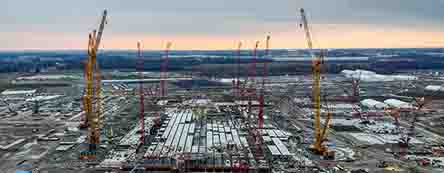
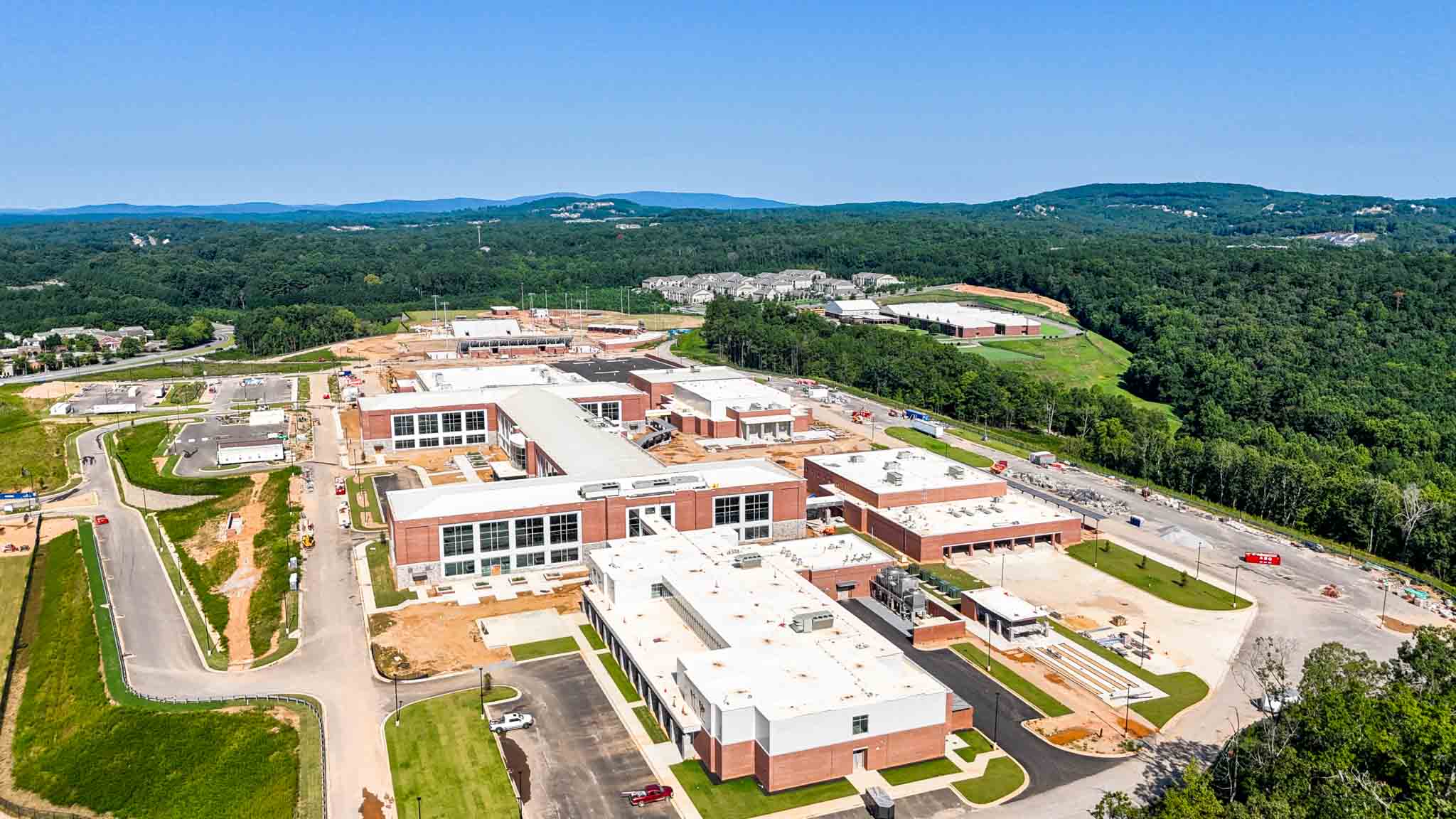
Dependable Aerial Construction Progress Photography keeps your stakeholders visually informed on building progress. Weekly, bi-weekly or as needed for the duration of your construction project. Servicng the entire U.S.A.
EyesAbove Imagery Services—a professional aerial and ground imagery company specializing in delivering precise, high-quality visuals for projects of any scale.
Our services include:
· Construction progress photography (monthly, bi-monthly, or custom schedules)
· Promotional videos to showcase your projects
· Drone inspections for commercial and military aircraft
· Hangar and runway inspections
· Digital documentation for data centers and infrastructure projects
Sample work:
· Custom wooden deck build (1 month to build): Watch here
· Full Publix supermarket build (18 months to construct): Watch here
With FAA-certified pilots, high-resolution deliverables, and waypoint-based timeline videos, we help keep off-site stakeholders informed and engaged throughout every stage of construction.
Our live client portal—iSeeProperty.com (login required)—hosts portfolio projects updated weekly for easy, secure access.
We also offer end-of-project showcase sessions, creating a grand final visual highlight of your completed build.
I’d be happy to learn more about your current or upcoming projects and explore how EyesAbove can help you deliver outstanding visual documentation and marketing materials.
3D Models
Scroll any of the 3D models including zoom in & out
3D Models
Scroll any of the 3D models including zoom in & out
Parking Building
This time-lapse construction video captures the full transformation from the demolition of an existing gas station to the grand completion of a brand-new Publix Supermarket. Spanning 18 months of development, the project was documented through twice-monthly aerial drone sessions—totaling 36 high-resolution video captures using waypoint technology for consistent angles and perspectives.
What We Do Best
Aerial Imaging, Inspection, and Monitoring Services.
Specializing In: Construction Progress Photography
Drone Inspections (Commercial Aircraft & Military Assets)
Airport Hangar and Runway Inspection
Construction
Progress
Aerial
Photography
Aircraft
Inspection
Facility
Inspection


Corporate Responsibility
Our mission is to enhance transparency, safety, and communication across construction, aviation, and infrastructure projects.
Monthly
Taken Annually
EyesAbove is committed to safe, compliant, and environmentally conscious aerial operations—delivering accurate imagery to support transparency and communication across every project.
Services by Category
We perform countless air and ground imagery sessions weekly to support a wide range of industries and project needs.
Blog
Drone technology is rapidly transforming industries — from defense and medical logistics to real-time infrastructure inspection, precision agriculture, environmental monitoring, and aerial data collection. Businesses are leveraging drones to reduce operational costs, increase efficiency, improve safety, and unlock new revenue streams in sectors ranging from construction and energy to logistics and real estate. Explore All
Future - design next generation & management.

We believe that our works can contribute to a better world.

Future - design next generation & management.


